Across the globe, billions of people still lack basic access to clean drinking water. Each year, IBM hosts a Call for Code Global Challenge where developers and problem-solvers from around the world build innovative technology solutions that address social and humanitarian issues. In 2021, the grand prize was related to safe drinking water – a group of young entrepreneurs from India created a low-cost system which alerts people living in rural areas to the likelihood of contamination of their every day water sources.
How did they do it?
The group built a water quality sensor and analytics platform which they named Saaf water (Saaf means clean in Hindi). The system uses low-power hardware sensors which transmit water data to the cloud and combine with other layers of data from weather patterns, seasonal correlation, population growth, local farming methods, and commercial development. Using AI, circumstances which will likely degrade water quality are predicted.
The system uses GIS to output a dashboard and set of maps with a color system to indicate the condition of the water source—green for safe water, yellow for water that has a high likelihood of being unsafe, and red to warn of confirmed contamination. Local villagers can easily access the dashboard and maps via their cell phones and receive SMS messages. The onsite hardware also uses the color coding system to provide a visual indicator at the point of use.
After their win, as the system has evolved, the group has been collecting more data to refine their algorithms and add features such as warnings which can be pushed to residents. Additionally, information about specific types of contamination can be sent to local governments to use to begin more thorough water testing and treatment.
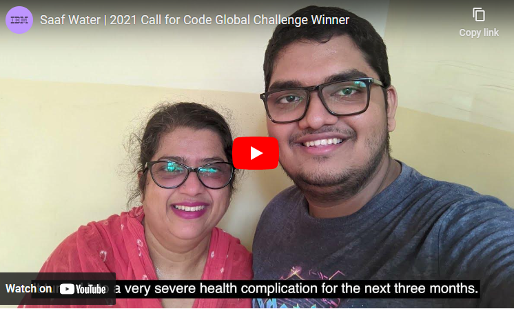
The group is proud of their accomplishments and eager to see them put into action on a large scale – it was through a family member’s illness from drinking contaminated water and the awareness of the problem in their communities that the project can to fruition.
In the United States we often take for granted the drinking water monitoring and treatment that happen on an everyday basis “behind the scenes”. In many countries, however, especially rural communities, these safety procedures do not exist. The members of Saaf water created a solution that is simple to operate and understand and low cost so is within reach of low-income communities throughout the world to have access to clean, safe drinking water.
Read more about the Saaf water project at https://www.esri.com/about/newsroom/arcuser/code4cleanwater/
https://developer.ibm.com/blogs/saaf-water-provides-insights-for-safe-water-consumption/
https://www.saafwater.com/
Note: This is Part 3 in a 3-part series on how GIS can be used to protect drinking water. Read Part 1 (Local efforts) and Part 2 (Planning for Lead Service Line Replacements).