• Skip to main content
  • Skip to footer

Marion County Wellfield Education Corporation

Groundwater and Drinking Water Protection for Indianapolis and Marion County Indiana

  • FAQ
    • Am I in a Drinking Water Protection Area?
    • Wellfield FAQs
    • Who is MCWEC?
  • For Businesses
    • Industry Specific Guidelines
    • Local Regulations
    • Guides, Forms, & Resources
  • Free Assessments
  • Waste Disposal
  • Reports
  • News
  • Contact
You are here: Home / News / The USGS Active Groundwater Network

The USGS Active Groundwater Network

May 21, 2020

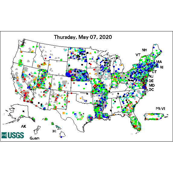
The United State Geological Survey (USGS) maintains a database of approximately 850,000 wells across the Nation. As a part of this effort, some 18,000 wells have water level and well information measured and aggregated into a media friendly GIF or GIS file known as the “Active Groundwater Level Network.” (Wells in the network have been monitored at least once within the past 13 months).

Taking and storing these measurements serves a variety of purposes, such as statewide monitoring programs, or more local effects like monitoring well drawdown, hydrologic research, aquifer tests, or even earthquake effects on water levels.

Visit the network to obtain information which can be used to educate communities and protect drinking water sources.

Footer

Free, Confidential Assessments

MCWEC representatives can help your business identify site specific ways to limit potential for groundwater contamination. You may receive free spill containment supplies in return. These assessments are free and intended to ensure businesses are operating in ways protective to groundwater; observations are NOT reported to any regulatory agencies.

Schedule Your Assessment

About the Marion County Wellfield Corporation

In My Community

Get connected with the water in your community!
The U.S. EPA offers a variety of tools to discover the environment around you.

© 2025 · Marion County Wellfield Education Corporation · Privacy Policy · Terms of Use · Contact